Sparrow with QGIS
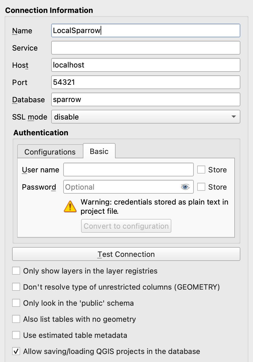
QGIS is an free and open-source geographic information system software that interfaces with PostgreSQL databases. Metadata including for map locations in Sparrow can be read and visualized in QGIS fairly easily. The WiscSIMS lab has used this to correlate images of sample surfaces to point analyses (knowledgebase for this use) and these coordinantes can also have the geometry necessary for the QGIS connection.
Local database connection